Project Digital City of Esslingen
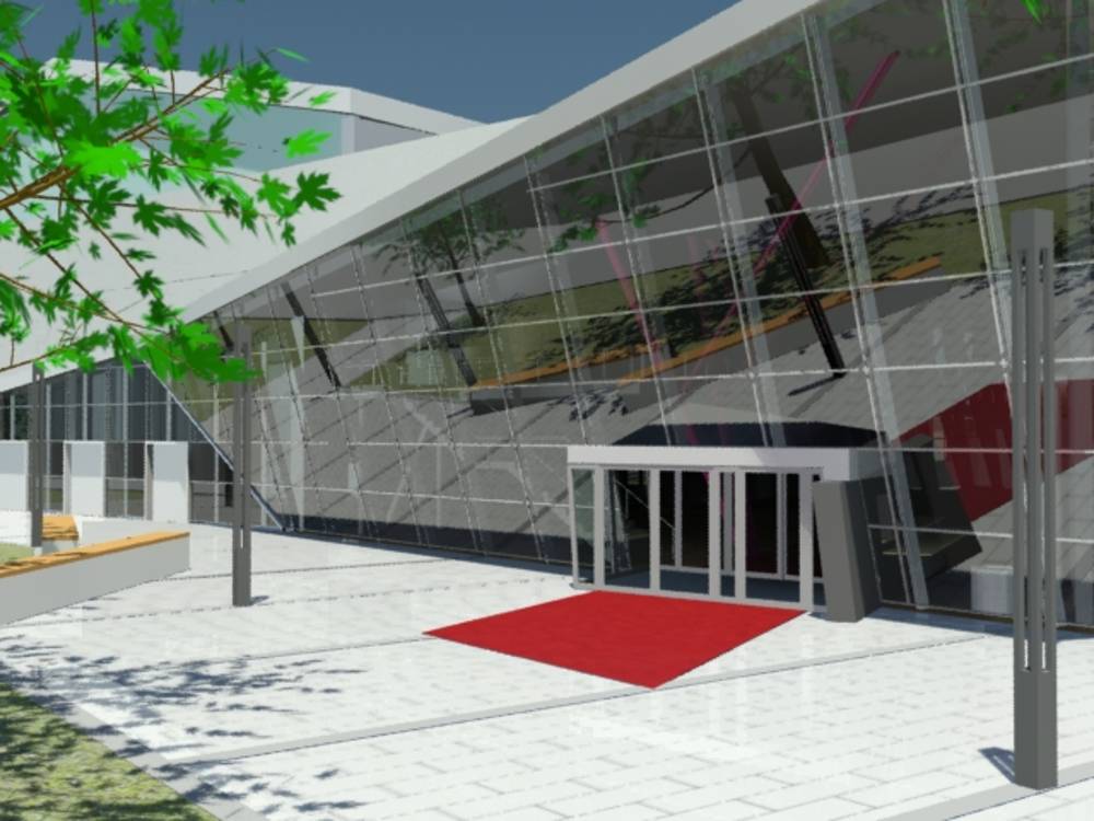
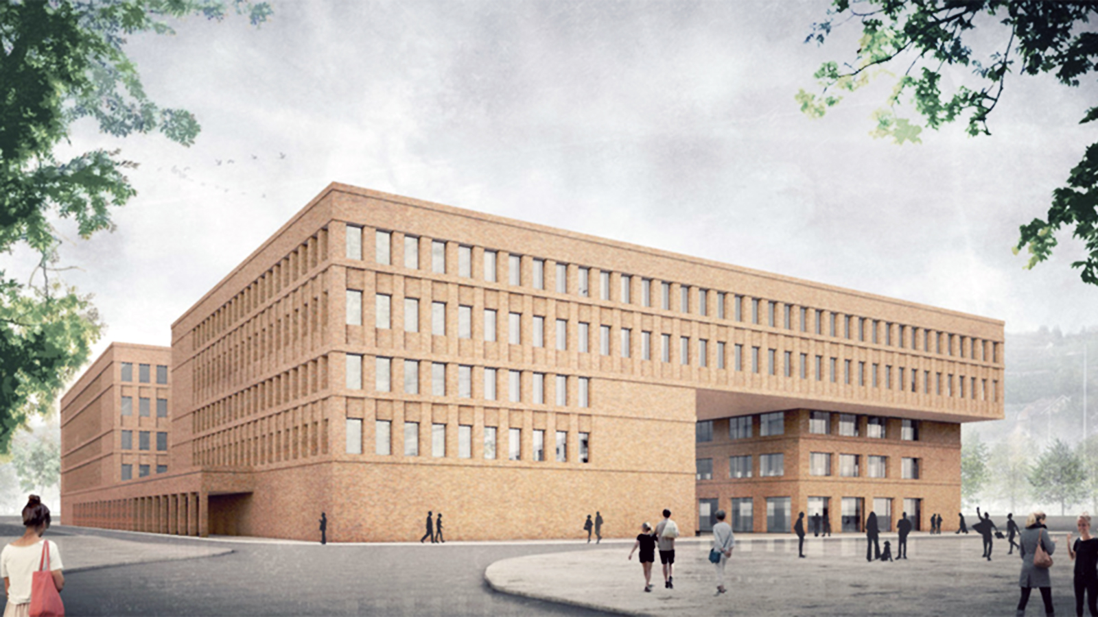
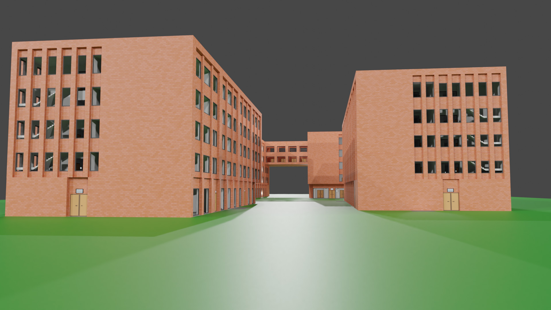
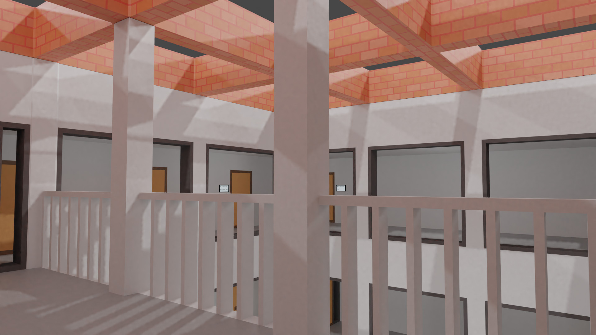
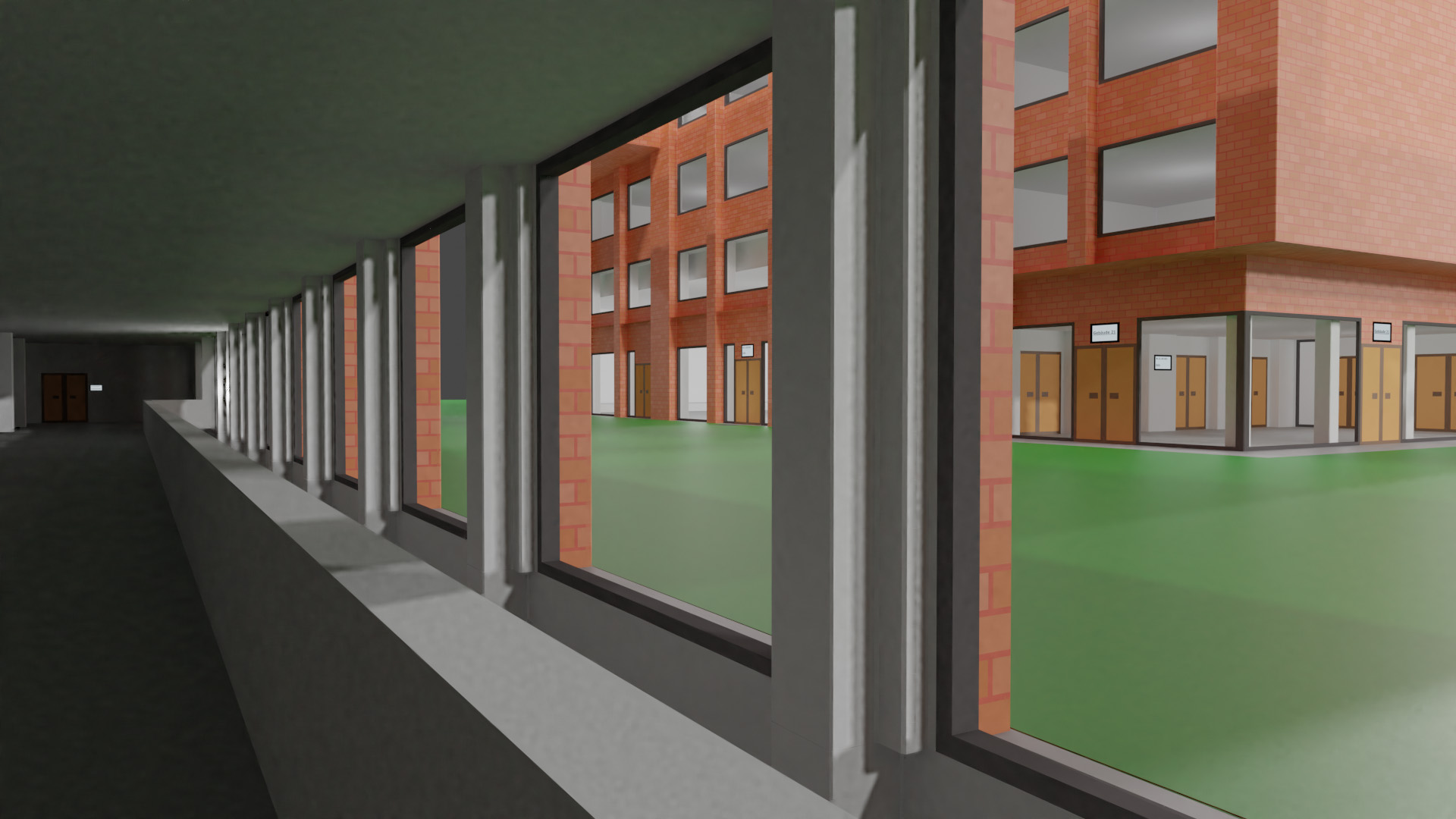
The Esslingen Digital project pursues the goal of reproducing the city of Esslingen am Neckar in three dimensions and creating a virtual image of the district town.
The project started several years ago. In the meantime, numerous project works have modeled city districts and historical buildings of Esslingen as a three-dimensional model, for example
- Campus Flandernstraße
- Campus Stadtmitte
- Old city Hall
- St. Dionys church
- Esslingen Castle
- Dick-Areal
- Neckarforum
- New building of the Esslingen University Campus Weststadt
Modeling
Based on self-taken photos, a sketch of the building is created that is as true to scale as possible. The photos also provide the textures for the buildings. This sketch serves as the basis for the subsequent modeling. The modeling tools used are
- 3dsmax from Autodesk for modeling,
- Blender as an open source tool for modeling,
- Unity3D for compositing the virtual environment,
- Photoshop for the preparation of textures.
The modeled buildings are then positioned in a modeled elevation profile of the Esslingen Neckar Valley. The basis for this elevation profile is the geodata of the Esslingen land surveying office. Thus, an overall model of the city of Esslingen is created, which can be flown over or virtually walked through.
Current project work
The focus of the current project work is on the planned new building complex of the Esslingen University of Applied Sciences in the Weststadt. In the meantime the buildings have been modeled and textured. Please have a look at the attached photos. The buildings were digitally reconstructed based on the architect plans and architect models. The project will be continued continuously.
If you are interested in participating in our project or if you would like to do a thesis in this field, please contact the contact persons.
Interested? Find out more! about our degree programmes
Explore now and
find a course
